Established 2012 | Sri LankaPrecision in every
Precision in every
coordinate.
We don't just measure land. We provide the mathematical certainty required for the nation's most ambitious infrastructure.
Our Vision
To be the primary architect of geospatial data, ensuring every foundation in the region is built upon absolute mathematical truth.
Our Mission
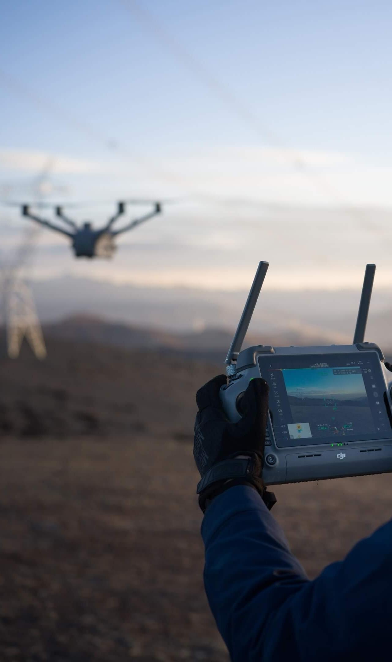
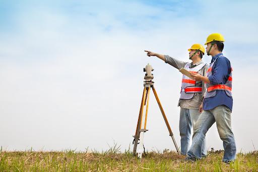
Merging drone-assisted photogrammetry with traditional field expertise to deliver high-fidelity survey plans that exceed regulatory standards.
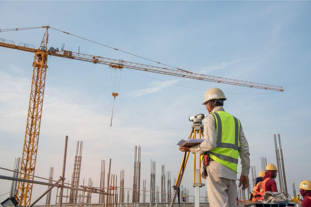
Technology & Approach
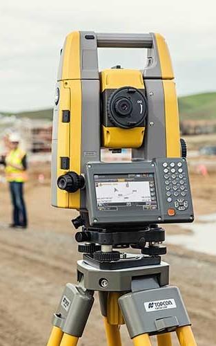
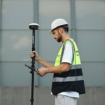
We utilize a proprietary blend of 20 Stations, GNSS Receivers, and DJI Enterprise Drones. Field data is processed using specialized GIS and CAD software, producing survey plans that aren't just accurate; they are digital assets for your future development.
Specializetion
99.9% Accuracy Rate
ISO Compliant Standards